A major winter storm swept through the Midwest and Great Lakes region on Saturday, disrupting post-Thanksgiving travel with heavy snowfall and dangerous road conditions.
Why It Matters
The storm hit during one of the busiest travel weekends of the year, affecting millions of Americans returning home after Thanksgiving.
Major airports in Chicago and St. Louis reported delays of approximately one hour Saturday morning, while meteorologists warn another winter storm could bring freezing rain and heavy snow to the Northeast early next week, potentially extending travel disruptions.
What To Know
The National Weather Service (NWS) issued winter storm warnings and advisories stretching from Montana to Ohio, with some areas receiving more than 8 inches of snow by Saturday morning. At least 45 vehicles crashed on westbound Interstate 70 near Terre Haute, Indiana, forcing highway closures, though no serious injuries were reported.
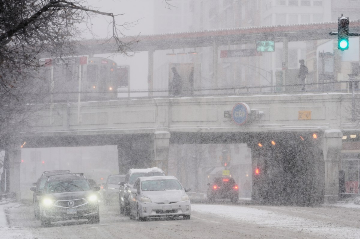
Northern Iowa received more than 8 inches of snow by Saturday morning, with similar accumulations expected across Chicago, other parts of Illinois, Wisconsin, Indiana, and Michigan. Forecasters warned that snow could fall at rates exceeding one inch per hour in some locations, creating hazardous conditions for both air and ground travel.
The storm’s impact extended beyond the Midwest, with the same weather system expected to bring thunderstorms and heavy rain from southern Missouri to Louisiana and Texas. Wind-driven icicles formed on Chicago piers as Lake Michigan’s waters churned with whitecaps, while motorists navigated snow-covered and slushy roads throughout the affected region.
Conditions have not yet reached blizzard warning criteria, which require sustained winds of at least 35 mph, visibility under a quarter mile, and duration exceeding three hours.
What People Are Saying
Sheriff Del Garcia of Grant County, Indiana advised residents when talking to the Associated Press: “Stay home, have a nice cup of hot chocolate, watch some TV, play some games.”
AccuWeather meteorologist Alyssa Glenny told Newsweek: “The corridor to face the most notable disruptions with the weekend storm include those within the six-to-12-inch snow bands, which includes Des Moines, IA; Chicago, IL; Green Bay, WI; Milwaukee, WI; and Grand Rapids; MI, to name a few. These locations are projected to pick up the heaviest snowfall rates and totals from the start of the weekend into part of the day on Sunday, which could make for rather challenging and dangerous at times.”
Glenny added: “Looking ahead, we are closely monitoring a separate storm that will originate from the South-Central U.S. and advance northeastward through the Southeast and into the Northeast corridor. This storm will produce a swath of snow from Kansas and Nebraska through the Ohio Valley and into New England.”
 What Happens Next?
Travelers should monitor weather forecasts closely as the current storm system moves through the region and a potential second storm approaches the Northeast early next week.
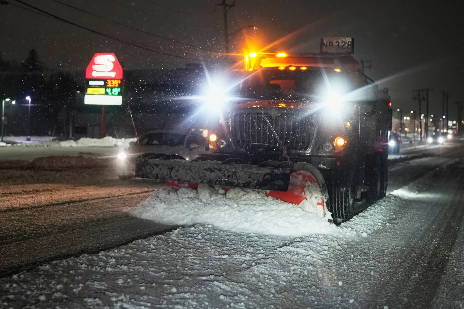
Road conditions are expected to remain hazardous throughout the weekend in affected Midwest areas, with airport delays likely to continue as snow persists.
Reporting from the Associated Press contributed to this article.