
The cold, snowy start to winter ontinues for the Chicago area as both an Arctic blast of cold and the potential for multiple “Alberta Clipper”-type disturbances are expected, according to the National Weather Service.
First, a blast of Arctic air will continue to bring wind chills as low as 15 degrees below zero on Thursday night and Friday morning. The weather service said the cold conditions could also lead to river ice formation and possible ice jams.
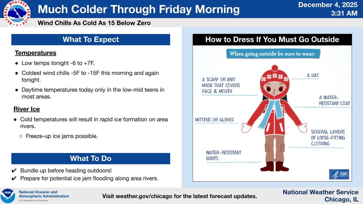
The weather service advised bundling up before heading outdoors, including wearing a hat, scarf or knit mask, mittens or gloves, boots, coat and several layers of loose-fitting clothing.
Residents are advised to avoid going out unless absolutely necessary, and check on elderly relatives, neighbors and those who may be vulnerable. For those who find themselves without heat, there are warming centers throughout the Chicago area. Residents should call ahead before heading out to a warming center.
 More snow on the way
According to the weather service, there will also be periodic chances for snow on Friday night, Saturday night into Sunday morning and Monday night.
The weather said that this active weather will result in “Alberta Clipper” type disturbances which will produce “swaths of snow Saturday night onward.”
However, it is too early for details on where or how much snow could occur.
“There is the potential for periods of snow and travel impacts roughly every other day starting Saturday night and lasting through next week,” the weather service said.
According to AccuWeather, an “Alberta clipper” is a fast-moving storm system that travels out of central Canada, named after the province of Alberta. Alberta clippers usually produce generally light snow, but can fuel larger amounts thanks to the Great Lakes.
Here’s a more detailed look at the weather through this weekend, per the weather service:
THURSDAY: Sunny, with a high near 20. Calm wind becoming west southwest around 5 mph.
THURSDAY NIGHT: Increasing clouds, with a low around 2. Wind chill values as low as -10. South southwest wind 5 to 10 mph.
FRIDAY: Mostly sunny, with a high near 27. Wind chill values as low as -5. South southwest wind 10 to 15 mph, with gusts as high as 20 mph.
FRIDAY NIGHT: A 30 percent chance of snow before midnight. Mostly cloudy, with a low around 22. Southwest wind 10 to 15 mph, with gusts as high as 20 mph.
SATURDAY: Mostly cloudy, with a high near 29. West northwest wind around 5 mph, with gusts as high as 15 mph.
SATURDAY NIGHT: A 40 percent chance of snow, mainly after midnight. Mostly cloudy, with a low around 16.
SUNDAY: A 30 percent chance of snow before noon. Partly sunny, with a high near 26.
SUNDAY NIGHT: Mostly cloudy, with a low around 10.