A 7,000-mile atmospheric river, among the longest ever recorded, is about to slam Washington state, and University of Washington atmospheric sciences professor Cliff Mass says the forecasts are “serious.” Mass detailed the scale of what is coming, backed by unusually aligned weather models and alarming satellite imagery, on The Jason Rantz Show on Seattle Red 770 AM.
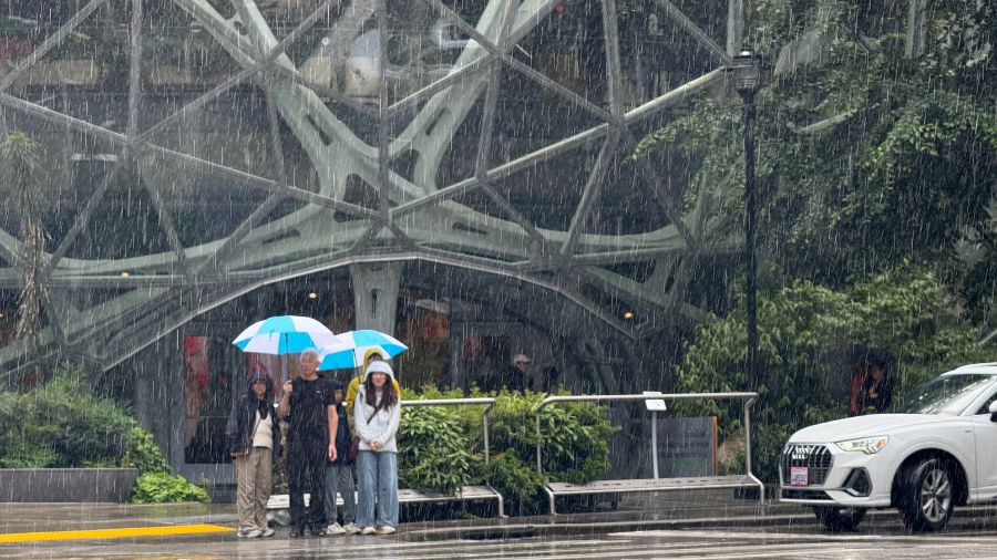
“It is serious,” Mass said, noting that “some places in the central and southern Cascades are going to get over 12 inches of rain. I mean, a lot of places will get more than eight or nine.” He added that “several major rivers like the Snoqualmie and the Cowlitz are going to go into flood stage… in some places, they may even hit all-time record flood levels.”
The rainfall maps match warnings from NOAA’s Northwest River Forecast Center, which now projects ten rivers reaching major flood stage—up from two just days earlier.
Rain, wind, and flooding
Mass explained that while Seattle proper may initially feel spared due to a temporary rain shadow, “the further you go towards the mountains, the worse it’s going to be… by the time you get over towards Carnation, much more. Keep on going in the mountains, it’ll double or triple.” Wind will accompany the system, with gusts of 30–40 mph, but “the wind is secondary. The primary is the flooding.”
Forecasts from The Washington Post show this belt of moisture, stretching from the Philippines to the Pacific Northwest, will deliver rainfall in excess of a foot across portions of Washington and Oregon, with near-record river crests likely by Wednesday. The atmospheric river’s peak intensity may reach Category 4 or 5, the top of the scale used to measure such events.
Mass said the confidence level is unusually high.
“We’re close enough in now that any of the models are going to be very good… they’re all locked in the same solution, which means heavy precipitation. I mean, it’s going to happen,” he explained.
‘The drought is over’
Mass expects pulses of rain through Wednesday morning, with the worst flooding arriving after the heaviest precipitation. But it comes with one upside.
“One good thing about all this is that the major reservoirs are to be filled up,” he explained. “The Yakima reservoir system, which is a little bit below normal now, well, they’re gonna be able to fill those up. So we’re going to be going into the winter with pretty good shape for the reservoirs. All we’ll need now is a little bit of snow, and we’ll be in pretty good shape next year.”
This event will end any lingering talk of drought, Mass argued.
“Drought is over. If anybody continues to talk about drought now, they’re deceiving you,” he said, noting that reservoirs will rapidly refill.
Listen to The Jason Rantz Show on weekday afternoons from 3 p.m. – 7 p.m. on Seattle Red on 770 AM (HD Radio 97.3 FM HD-Channel 3). Subscribe to the podcast here. Follow Jason Rantz on X, Instagram, YouTube, and Facebook.