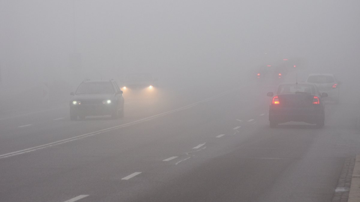
Chicago-area motorists will need to be cautious overnight thanks to a risk of freezing fog.
According to a hazardous weather outlook issued by the National Weather Service, parts of the Chicago area away from Lake Michigan could see dense fog form, which could lead to icy buildup on roadways.
That risk of freezing fog is especially possible west of the Fox River Valley and north of Interstate 80, according to the alert.
Motorists are urged to use caution overnight since temperatures will still be below freezing and pavement will be extremely cold, with salt having been rendered partially ineffective due to the frigid conditions over the roadway.
Fortunately for area residents, a warming trend is set to get underway this week, with readings soaring back above the freezing mark on Tuesday and even warmer on Wednesday, culminating with highs in the mid-to-upper 40s.
That will be accompanied by rain, which could transition to snow as a cold front sags across the region, briefly dropping temperatures back into the upper-20s.
By the weekend things will warm up again, and temperatures are expected to moderate into the holiday week, with readings in the upper-30s and low-40s across the region.
Stay tuned to the NBC 5 Storm Team for all the latest weather news and information, and download the NBC Chicago app for real-time weather alerts sent directly to your phone.