Some Boulder County roads are closed on Friday following the high risk of wildfire spread and hurricane-force winds blowing across the county, and officials are telling people to stay off the roads.
Stay home and do not drive unless absolutely necessary, the Boulder Office of Disaster Management said in a social media post. Debris, tree limbs and power lines will be on the roads and will pose a threat to anyone driving, the post states.
If anyone must drive today, the disaster management agency asks that people drive extra slowly, account for more time to get where they’re going, and treat all powerless stoplights as four-way stops, the post states.
The following roads are closed:
• U.S. 36 is closed in both directions between Boulder and Lyons, according to the Colorado Department of Transportation’s COtrip map that tracks road closures.
• Colorado 93 is closed in both directions from Marshall Road in Boulder County to 68th Avenue in Jefferson County, according to a transportation department social media post.
• Colorado 128 is closed in both directions between Colorado 93 in Boulder County and Eldorado Boulevard in Superior, according to COtrip.org, CDOT’s online trip planning map.
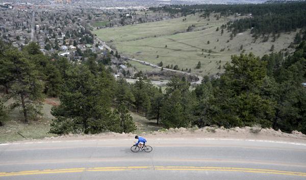
• Flagstaff Road in Boulder County. Residents can still access the road, but no one else, according to a Boulder Office of Disaster Management social media post.
• Colorado 72 is closed in both directions between Ward and Colorado 7, according to COtrip.org, CDOT’s online trip planning map.
Residents can use the Boulder Office of Disaster Management’s online map to track road closures in Boulder County.
The unusually high temperatures and strong winds prompted Xcel Energy to proactively turn off power for some residents on Friday, the third day of the outage. About 19,000 customers were without power as the utility worked to combat the high risk of wildfire spread.
This is a developing story and may be updated.