Staten Island residents can expect a cold Saturday with temperatures remaining below freezing throughout the day. According to the National Weather Service, wind chills will rise out of the single digits and teens this morning into the 20s by the afternoon.
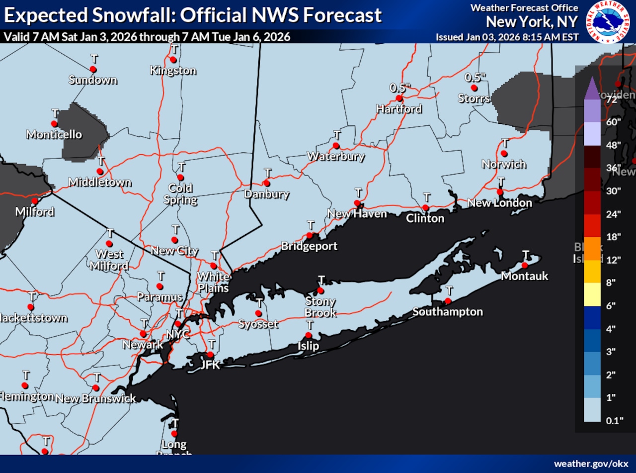
A weak clipper system will move through the area late Saturday night, likely bringing a dusting of snow to Staten Island. The weather service indicates moisture is extremely limited, so only flurries or a light dusting is expected.
A clipper storm, as defined by the weather service, is a fast-moving storm that drops into the U.S. over the Great Lakes from Alberta, Canada.
Snow will pass offshore by Sunday morning, with decreasing clouds by afternoon. Northwest winds will increase late Sunday, and temperatures will remain below freezing for most areas.
Some areas of Staten Island and New York City could experience brief and localized minor coastal flooding for the Sunday morning high tide, particularly in typically vulnerable south shore bays. This flooding risk is in response to elevated astronomical tides from Saturday morning’s full moon.
Looking ahead to next week, temperatures will begin to moderate by mid to late week. Monday brings another chance of light snow during the evening and overnight. Tuesday night presents a risk of freezing rain as warmer temperatures aloft move into the region, though overall precipitation amounts should remain low.
More significant rainfall is possible toward the end of next week into the weekend as a stronger frontal system approaches the area with deeper moisture. This pattern shift will likely bring warmer conditions to Staten Island and surrounding areas.
A draft of this story was generated using AI. It was reviewed, edited and approved by Advance/SILive.com staff.