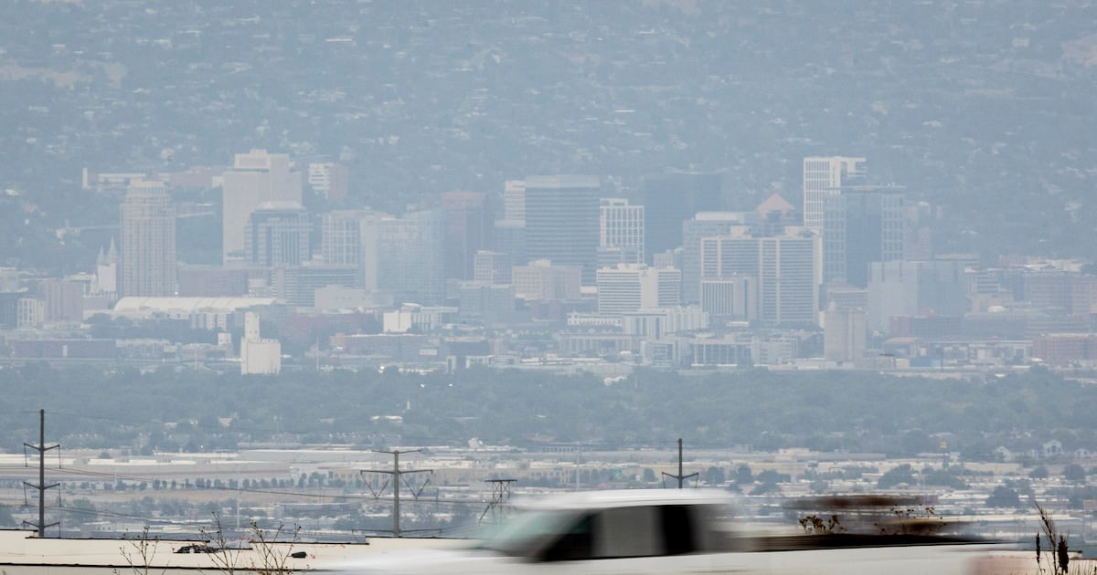
It is the time of year for wildfires and Utah has them popping up endlessly, it seems.
The smoke from those fires can lead to higher levels of fine particulate pollution, or PM2.5. That pollutant is so named because these inhalable particles are 2.5 micrometers or smaller.
How small is that? The size of a single strand of human hair is about 30 micrometers, so much, much smaller.
These particles settle deep in the lungs and are unhealthy, with people advised to stay indoors and at the very least minimize outdoor activity.
PM2.5 pollution is spiking in many counties in Utah and is accompanied by the typical summer pollutant of ozone.
It makes for a nasty mix of pollution that, unfortunately, has become more commonplace with the West’s ever-active wildfire seasons and extreme heat marked by stagnant weather patterns.
Bryce Bird, director of the Utah Division of Air Quality, said the higher levels of PM2.5 are dogging areas like Washington and Grand counties. Those areas are in double digits, but have not exceeded the federal standard.
It was a different story on July Fourth, when fireworks caused PM2.5 to exceed that federal threshold of 35 micrograms per cubic meter.
Taking precautions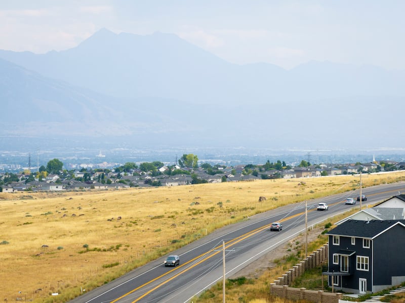 Traffic flows along Utah state Route 111 in West Valley City on Tuesday, July 15, 2025. | Isaac Hale, Deseret News
“So our advice to people is to keep a close eye on our website, monitor conditions, and then take the necessary precautions,” Bird said. “Trust your senses. You know, if you’re smelling smoke or especially the irritation in your throat, in your lungs, that again is a good indication to move activities indoors when you can and avoid that kind of exposure.”
Bird said people can also go to fire.airnnow.gov which maps the entire country and “hot spots” for unhealthy pollution due to fire activity. Redding, California, for example, showed air quality at unhealthy levels. In the Chicago area, the air was deemed unhealthy for sensitive people.
The map showed Utah generally in the clear.
“So with the large fires you can get some information about those. You can see what the large network of inexpensive air monitors across the country is showing. And of course, right now, it’s the upper Midwest that’s giving the base impact from wildfires in Canada.”
Bird said it is useful for the overall picture of how wildfire smoke is impacting different areas.
“That’s a good tool to see if there’s a question about maybe what’s causing the smoke. That’s a really good resource to see where those active fires are,” he added.
People can also check out airnow.gov to check general conditions regarding air quality around the country, Bird said.