For the second straight evening, flood alerts covered much of the KVOE listening area.
Moderate to heavy rainfall Friday afternoon through the night fell on top of areas that were saturated by hard, heavy rain Thursday night into early Friday. Cumulative rain totals are currently pending.
Rainfall in Greenwood County caused travel issues for the second straight day. On Thursday, rain closed several county roads near Virgil and other low-water crossings. On Friday, Kansas Highway 58 near Madison and several lower areas in Madison had water over them.
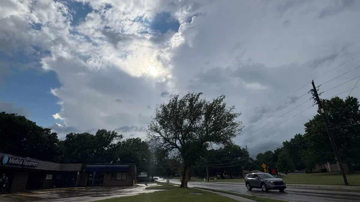
Area residents have dodged any severe weather concerns as there was a slight-to-marginal severe risk for 60 mph wind and isolated tornadoes. Heavy rain is still possible through the overnight hours.
1:30 pm Friday: Damaging wind, isolated tornado threat join expanded flooding risk as hazards through Friday evening
Heavy rainfall has been commonplace across the KVOE listening area starting late Thursday afternoon. More heavy rainfall is possible through early Saturday, with severe weather possible through early Friday evening.
The latest update has a slight chance of showers and storms through Friday afternoon, with increasing chances of rainfall starting shortly before sunset. On the severe weather side, there is now a slight-to-marginal severe weather risk for all area counties, with areas along and northeast of a line from near Herington to Bazaar to Madison to Burlington in the slight risk category. Wind gusts up to 60 mph are the most likely hazard, but isolated tornadoes are also possible through the early evening hours.
For additional rain, the National Weather Service still says 1-3 inches of new rainfall is possible through early Saturday morning and up to 5 more inches of rain is possible. Rainfall rates could be upwards of 2 inches per hour, leading to a moderate risk of flooding activity for all area counties and much of eastern Kansas.
Rainfall continued through much of the morning Friday, leading to these totals as provided by KVOE listeners or the National Weather Service:
*KVOE studios: 0.85 inches
*Emporia Municipal Airport: 0.09 inches
*Ninth and Lawrence: 0.40 inches
*10th and Weaver: 0.40 inches
*South and Sylvan: 1.10 inches
*Country Club Heights: 1.10 inches
*Deerbrook Addition: 1.30 inches
*Hammond Heights: 1.20 inches
*Jones Park: 0.78 inches
*3.5 miles west of Emporia Golf Course: 1.20 inches
*7 miles southwest of Emporia: 1.70 inches
*Allen: 0.30 inches
*Burlington: 1.51 inches
*2 miles west-southwest of Burlington: 2.15 inches
*Bushong: 0.76 inches
*Seventh Road at Coffey-Greenwood County line: 4.50 inches
*Council Grove: 1.63 inches
*Eureka Milliken Airport: 3.34 inches
*1 mile northwest of Eureka: 4.08 inches
*1 mile west-southwest of Eureka: 3.11 inches
*Gridley: 3.40 inches
*6 miles north of Gridley: 4.20 inches
*7 miles northwest of Gridley: 5.20 inches
*Hamilton: 3.29 inches
*Between Hartford and Olpe: 1.25 inches
*11 miles south of Hartford: 3.80 inches
*Kansas Highway 99 at Lyon-Greenwood County line: 0.80 inches
*Lamont: 4.50 inches
*2 miles north of Lebo: 1 inch
*Neosho Rapids: 2.30 inches
*Olpe: 0.50 inches
*Olpe Blacksmith Shop: 1.25 inches
*5 miles southwest of Olpe: 1.50 inches
*Reading: 0.50 inches
*Roads 30 and U: 1.11 inches
*Strong City: 2 inches
*5 miles south of Thrall: 3.07 inches
*Toledo: 0.92 inches
*1 mile west of Virgil: 5.70 inches
*Unspecified field locations hear Virgil: 7.34 to 7.56 inches
Greenwood County Sheriff Heath Samuels says a lot of low-water crossings in Greenwood County are underwater now.
A flood watch now affects Chase and Greenwood counties until 7 pm.
The heavy rain has also caused at least one schedule adjustment for Friday night:
*Front Porch Jams of Lyon County is moving inside to the Olpe Knights of Columbus Hall starting at 7 pm. All other aspects of the concert remain as previously announced. The concert benefits the USD 252 Southern Lyon County Honor Flight program.
We’ll keep you updated on KVOE, KVOE.com and KVOE social media. If you have rain totals, message the KVOE Bluestem Farm and Ranch text line at 620-342-5863.
8:30 am Friday: Flooding underway in Greenwood County after up to 6 inches of rain Thursday
After some area locations got 3-plus inches of rainfall Thursday night, we may not be done with the heavy rainfall.
National Weather Service meteorologist Chelsea Picha tells KVOE News we could see at least another inch by late Friday night. Some locations could get as much as 3-5 inches on top of the Thursday totals.
There were some moderate to robust totals Thursday night:
*KVOE studios: 0.85 inches
*Emporia Municipal Airport: 0.09 inches
*Ninth and Lawrence: 0.40 inches
*10th and Weaver: 0.40 inches
*South and Sylvan: 1.10 inches
*Jones Park: 0.78 inches
*3.5 miles west of Emporia Golf Course: 1.20 inches
*Allen: 0.30 inches
*Bushong: 0.76 inches
*Seventh Road at Coffey-Greenwood County line: 4.50 inches
*Eureka Milliken Airport: 3.34 inches
*1 mile northwest of Eureka: 4.08 inches
*1 mile west-southwest of Eureka: 3.11 inches
*6 miles north of Gridley: 3.85 inches
*7 miles northwest of Gridley: 5.20 inches
*Hamilton: 3.29 inches
*Between Hartford and Olpe: 1.25 inches
*11 miles south of Hartford: 3.80 inches
*Kansas Highway 99 at Lyon-Greenwood County line: 0.80 inches
*Lamont: 4.50 inches
*2 miles north of Lebo: 1 inch
*Neosho Rapids: 1.90 inches
*Olpe: 0.50 inches
*Olpe Blacksmith Shop: 1.25 inches
*5 miles southwest of Olpe: 1.50 inches
*Reading: 0.50 inches
*Roads 30 and U: 1.11 inches
*Strong City: 2 inches
*5 miles south of Thrall: 3.07 inches
*Toledo: 0.92 inches
*1 mile west of Virgil: 5.70 inches
*Unspecified field locations hear Virgil: 7.34 to 7.56 inches
Heavy rain has closed several roads in Greenwood County. Confirmed so far:
*2900 block FF
*2900 block GG
*T south of 400
*Several unlisted low-water crossings
According to Greenwood County Emergency Management, Greenwood County Road and Bridge is reporting widespread flooding with unspecified road damage. Typical flood-prone areas are underwater and listed as impassable.
As flood watches continue areawide until 1 pm, flood warnings continue for most of Greenwood County, with warnings active for northeast parts of the county, including Hamilton and Virgil, until 12:15 pm and for areas like Eureka, Climax, Fall River and Severy until 12:45 pm.
Storms also caused a number of power outages, with close to 250 power outages for Evergy customers between Kansas Highway 58 and US Highway 54 late Thursday night, including nearly 200 outages reported in Eureka. Those have largely been restored. 4 Rivers Electric Cooperative had nearly 40 outages total in Coffey and Greenwood counties late Thursday night. Less than 10 total outages remain in those counties.
When the rain dries out Friday night, it won’t return to the forecast until Wednesday — meaning a hot weekend and start to next week.
We’ll keep you updated on KVOE, KVOE.com and KVOE social media. If you have rain totals, message the KVOE Bluestem Farm and Ranch text line at 620-342-5863.
10:30 pm Thursday: Flood alerts persist for much of Greenwood County into early Friday
Slow-moving storms are causing several issues across the southern parts of the KVOE listening area Thursday night.
Storms began developing across Coffey and Greenwood counties, triggering brief severe thunderstorm warnings with no actual severe activity reports. Soon afterward, though, storms broadened and continued dumping heavy rainfall especially in northeast Greenwood County. Radar estimated had 4-6 inches of rainfall in an area from Hamilton to Lamont to Virgil before rain slowed down in that area of the county. Further south, estimates of up to 3 inches were reported.
Flood or flash flood warnings are now active into the early-morning hours Friday for most of Greenwood County. Flood watches continue areawide until 1 pm Friday.
Greenwood County Emergency Communications is asking residents in and near Virgil to not travel until further notice. Details about that area of Greenwood County are currently unclear.
Rain totals through 10 pm:
*Emporia Municipal Airport: 0.09 inches
*Seventh Road at Coffey-Greenwood County line: 4.50 inches
*Eureka Milliken Airport: 2.74 inches
*Olpe: 0.50 inches
*1 mile west of Virgil: 5.70 inches
Storms have also triggered close to 250 power outages for Evergy customers between Kansas Highway 58 and US Highway 54, with nearly 200 outages reported in Eureka. 4 Rivers Electric Cooperative is reporting nearly 40 outages total in Coffey and Greenwood counties.
With flooding underway or possible into early Friday afternoon, drivers are urged to “turn around, don’t drown” if they encounter water crossing roads of any kind.
KVOE and KVOE.com will have updates.